Hesten
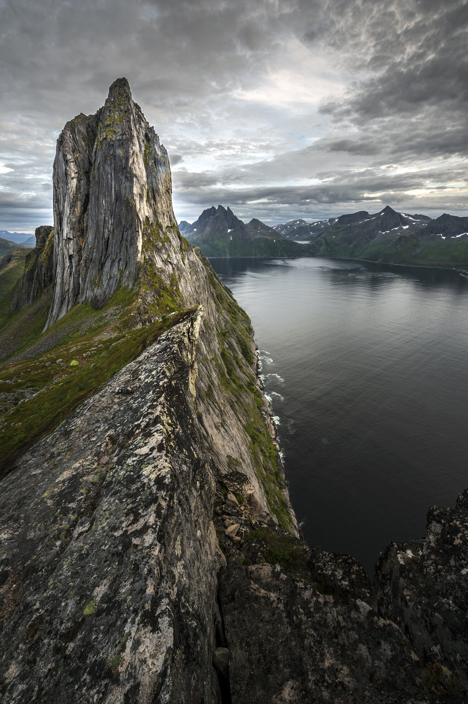
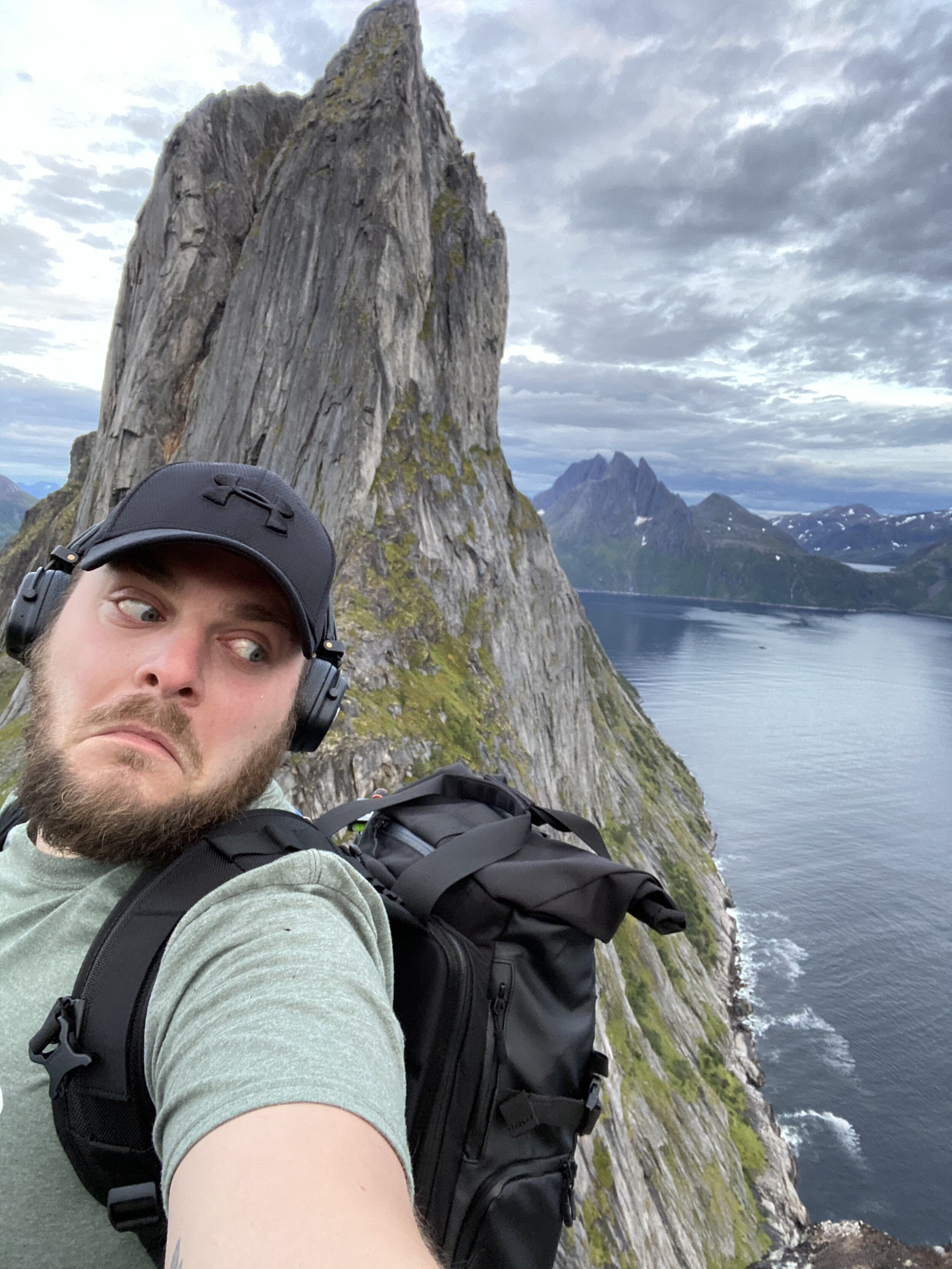
Hesten is a peak on the island. of Senja, Troms og Finnmark, Norway. It sits above the small town of Fjordgård and is the best vantage point for the iconic view of neighbouring peak, Segla.
Facts
Distance - 3.7 km round trip
Difficulty - Medium
Time - 2-3 hours
Season - June - September
Elevation - 520m gain
Trailhead
The Trailhead is at the town of Fjordgård. On the two occasions that I have visited Hesten the parking has been different, with obvious improvements being made locally. The Segla trailhead is to the northern end of the town and the Hesten trailhead to the southern end. The parking on my most recent visit was all contained at the Segla trailhead, with a small fee payable by cash or card at the machine.
Photo Location
The best and most common viewpoints come from the ridge leading up to the peak of Hesten, facing North towards Segla. The summit of Segla soars 639 metres from the water below to the East and slopes to the West. The vantage point faces South towards the subject, with the sunrise to the left and sunset to the right.
Map
Outline
The hike can be fairly strenuous with lots of gear but there are plenty of places to rest along the way. The route is divided into sections of varying steepness, making it a manageable hike, even with children. The steep sections are not too challenging, but in wet weather it can be slippery. In the town of Fjordgård there is a small restaurant, a shop named Nærbutikken, and toilet facilities at the Segla trailhead. At the ridge there is a sheer drop to the sea below, so be careful of loose surfaces and strong winds.
Detail
The walk starts with a gentle slope on a path through grass before reaching woodland. The trees are small and fairly sparse, with a few waterfalls crossing the path and elevated wooden planks laid down to allow easy crossing. There are some short, steep sections within the woodland, with plenty of plaes to rest and catch a breath if necessary. After the woodland the path stretches to the right of Senja, towards the ridge. There are some steep, rocky sections, but again it’s not too bad. As you approach the ridge the path begins to twist and turn - where it splits as if to head towards Hesten, stick to the part that goes left towards Segla instead. This path takes you to the ridgeline which you can then follow back towards Hesten later, offering a broader range of options in both directions. The best photos are taken from along this ridge-line before reaching the summit of Hesten.


How it feels
This hike is just challenging enough to offer a feeling of satisfaction and accomplishment when you get to the top, without having taken away too much energy to explore the summit and enjoy the experience. I recommed spending time to find compositions and foreground elements to create the best images from up here.
What to bring
Good, sturdy, waterproof shoes are a must, along with a packable rain jacket. It may be sunny at the start of the hike but the weather in Arctic, northern Norway is unforgiving and ever-changing. For the best photos a good landscape lens is essential, such as a wide-angle lens. A sturdy tripod will help to achieve some unique long exposure photos, and filters can be used to enhance the image.
Gear
For this image I used my Nikon Z6 with a Nikkor 14-24mm f/2.8 lens and 3LeggedThing tripod and L-bracket. I carried it all in my Wandrd PRVKE bag.
Settings
This shot was taken at 14mm with an ISO of 100, Shutter Speed of 1/2 second, and Aperture of f/22.

The information in this post is geared around how I got the featured shot, and as such the information may or may not be true to other seasons.